Our servicesSourse delivers comprehensive situational awareness solutions to various industries by providing invaluable, real-time geospatial information.
We combine cutting-edge earth observation techniques with advanced AI detection models to enhance situational awareness, enabling improved safetysafety, cost-efficiencycost-efficiency, and adaptabilityadaptability.


What we do
How we do it
We offer a comprehensive end-to-end solution, from mission planning to information delivery, incorporating automation, autonomous data collection, data fusion, AI, and augmented reality to enhance the efficiency and intelligence of every stage.
Monitoring#pipeline monitoring#road management#rail integrity#powerline inspection

Monitoring
Third-party interference (TPI) is a significant risk to infrastructure.
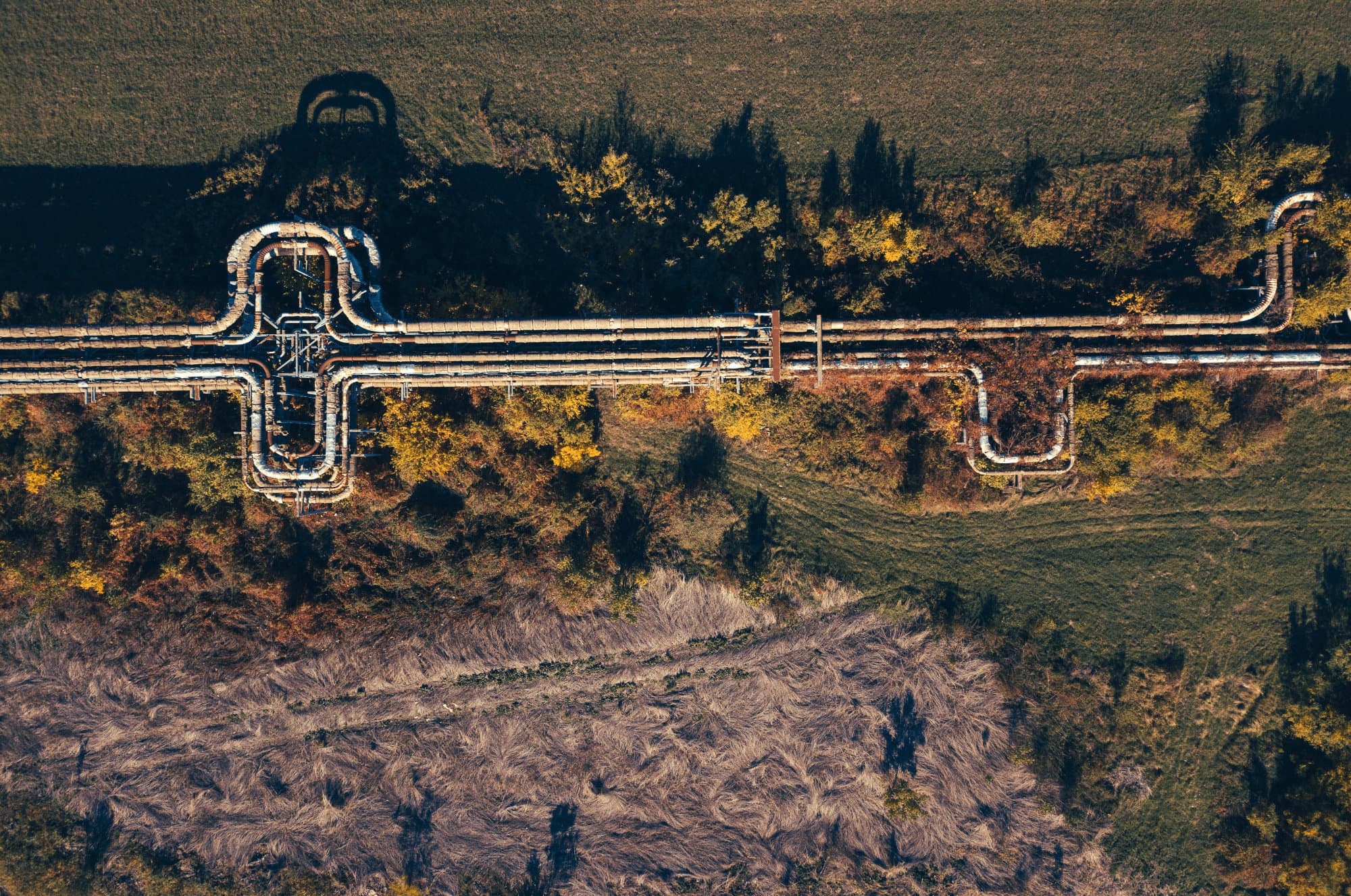
At Sourse, we tackle this challenge by offering tomorrow's technology for every need related to the pipeline right-of-way (ROW). We replace traditional patrols with an autonomous, automated approach that combines geo-referenced data from multiple sensors with validated AI detection models. Enhanced by Augmented Reality, our system delivers near real-time insights for superior situational awareness. As mapping specialists, we help you go further by offering dynamic maps. Visualize your assets, track changes, identify deformations, and gain operational advantages through our advanced mapping capabilities.
These capabilities unlock a host of new benefits and operational advantages, significantly boosting your ability to manage, safeguard, and optimize your assets with greater efficiency and precision.
Surveillance#insurance#forestry#sea#wildlife

Surveillance
Understanding your environment is essential for anticipating business evolution.
Sourse provides comprehensive aerial surveillance through aircraft equipped with advanced sensors, transforming high-resolution data into actionable information in real time. Leveraging our proprietary AI model, we enable faster, systematic, and robust asset assessments, allowing for the anticipation and prevention of potential risks before they escalate.
Whether it's for security, environmental monitoring, or business adaptation, our system provides the insights needed to stay ahead of challenges.
Emergency disaster response#natural disaster#wildfire#flood

Emergency disaster response
In emergency situations, accurate and timely information is vital.
Sourse supports disaster response through advanced earth observation and AI-driven detection models, providing real-time data and detailed analysis to help teams make quick decisions, enhancing both safety and operational efficiency during crises. Our solutions also support proactive disaster management, from early warning systems to post-event recovery, ensuring resilience and adaptability in the face of evolving threats.
Effectively manage the unpredictability of disasters by minimizing their impact, accelerating recovery efforts, and ultimately saving both lives and critical resources.
Mapping#survey#city modeling#LiDAR classification#data collection

Mapping
With our extensive experience in aerial data acquisition, photogrammetry, and LiDAR, we excel in creating high-resolution geospatial information.
We transform raw geo-spatial data into accurate, actionable mapping assets that support various applications, from othophotoplan and 3D modeling to LiDAR point cloud and classification.
Delivering top-quality cartographic products, specifically tailored to support a wide range of geomatics applications with precision and reliability.