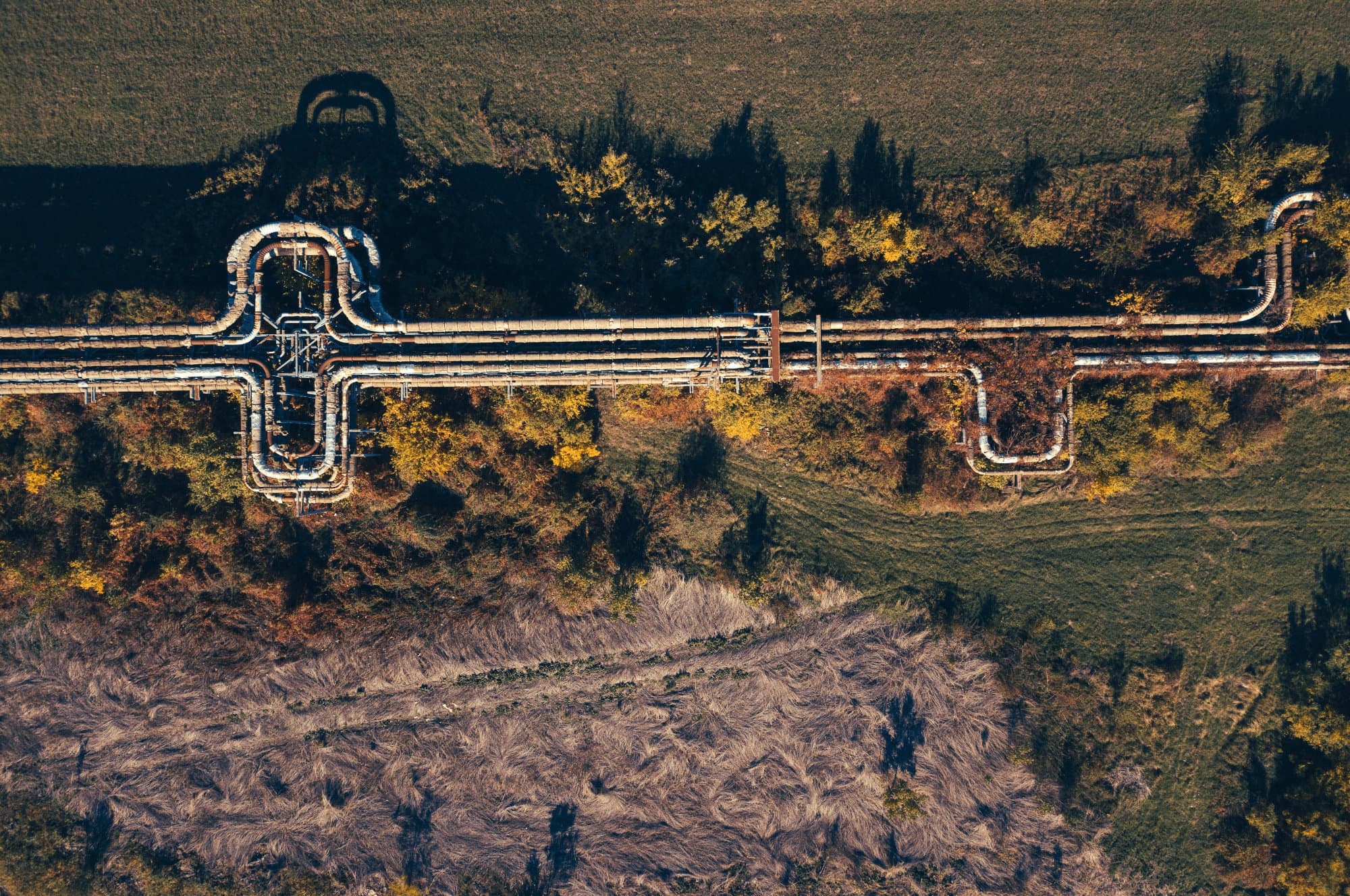
The world seen by the human eye is only a fraction of the world that actually exists.
About
Earth observation is crucial for understanding our surroundings and preventing risks, yet it remains underutilized in daily business operations.Sourse fills the gap by offering instantaneous, enriched and accurate situational awareness informationsituational awareness information for enhanced decision-making and improved risk management.
Our process
Collecting high-quality data no longer requires expert skills. We offer a fully autonomous solution that manages everything from flight planning to quality control and pre-processing.
Our AI-powered models analyze diverse data streams to detect patterns and risks, raising situational awareness to an unparalleled standard of thoroughness and insight.
Since hazards demand a rapid response, we provide meaningful insights within minutes of data capture, empowering swift and informed decision-making.
Data on its own holds little value without context, which is why we are committed to delivering actionable insights, ensuring that every piece of information helps shape your future.
Transform the way you operate, seamlessly integrating meaningful insights into your daily processes to boost efficiency and drive smarter decision-making.
Our services
Sourse pioneers in earth intelligence, offering unprecedented situational awareness solutions.
Through its proprietary technology, Sourse delivers essential geospatial data and insights to any stakeholder who needs to act as soon as an interference is detected, identified, and classified. Whether the goal is monitoring infrastructure, surveilling assets, supporting disaster response, or simply mapping areas, Sourse provides an end-to-end solution that enables you to make informed decisions in real time.
Monitoring#pipeline monitoring#road management#rail integrity#powerline inspection

Monitoring
Third-party interference (TPI) is a significant risk to infrastructure.
Surveillance#insurance#forestry#sea#wildlife

Surveillance
Understanding your environment is essential for anticipating business evolution.
Emergency disaster response#natural disaster#wildfire#flood

Emergency disaster response
In emergency situations, accurate and timely information is vital.
Mapping#survey#city modeling#LiDAR classification#data collection

Mapping
With our extensive experience in aerial data acquisition, photogrammetry, and LiDAR, we excel in creating high-resolution geospatial information.
Our technology
Sourse stands out by developing innovative technology and using it to serve a broad community of end users.
This technological innovation sets Sourse apart, enabling us to meet the evolving needs of an extensive user base.
